Every building project requires surveying as a supporting service. In the cycle between reality capture and the geometry is a digital plan. Planners and builders both have access to it, keeping this data hub going.
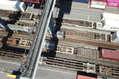
Construction surveying has developed considerably in recent years. The direct data flow between a centrally stored digital plan and field surveying equipment is now possible. Construction surveying equipment is becoming increasingly easy to operate and can record more and more data, even using drone images and laser scanners. Position determination using satellite navigation (GNSS) is only limited inside buildings and in underground structures so this is where robotic total stations come into action.
What we can do for you:
Here at Rhomberg Sersa Rail Group, we know all about having a functioning modern construction surveying system. Our equipment is state-of-the-art, and surveying experts ensure that it is used correctly on your construction site, ensuring that the digital plan is always up to date. This enables us to:
- create video inspections and stereo aerial images using drones
- generate accurate and dense point clouds from laser scan data and aerial photos
- follow construction site progress around the clock
- calculate digital objects and accounting data from the digital images
- define and control geometries required for construction efficiently in the field
These services are all part of our project portfolio, helping you progress with quality building work.


In cooperation with partner companies, we want to use the latest multi-layer scanners in a 24/7 operation to obtain an almost complete digital 3D image of construction sites. In addition to the "Reality Capture" function, this information is to be used in real-time for safety topics.